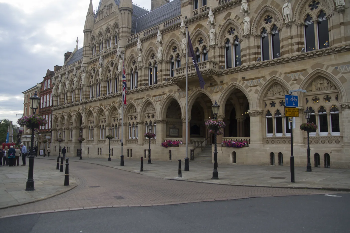

The draft Local Plan earmarks 14,725 homes on 27 Northampton sites, 2,900 of them west of the A43. What is proposed, where, and when you can have your say.
The biggest planning decision facing Northampton is not any single application. It is the West Northamptonshire Local Plan, a single document being written to replace four older ones, and its draft names 27 sites in and around Northampton with a combined capacity of 14,725 homes. Once it is adopted, those allocations become the policy that individual applications are judged against, which is why the plan stage matters more than the application stage.
The consultation on the draft closed on 27 March 2026 and the council is analysing the responses. Here is what the draft actually proposes for Northampton, where the biggest sites are, and what happens next.
The number driving all of it: 2,503 homes a year
The Government’s standard method for assessing housing need requires West Northamptonshire to deliver, on average, 2,503 dwellings per annum. The council’s own report notes that figure is about 26% higher than the average number of completions over the last five years, so this is a step up from what the area has actually been building.
Policy HO1 sets out that provision will be made for about 47,300 new homes across West Northamptonshire over the plan period 2025 to 2043. That is roughly 9,000 more than the previous draft, and the reason is national rather than local: the revised National Planning Policy Framework published in December 2024 pushed the area’s assessed need up.
What is proposed in Northampton
The plan identifies Northampton as the Principal Urban Area of West Northamptonshire and puts regeneration and brownfield land first. In practice the allocations split into two very different groups.
Town centre and brownfield sites account for 2,027 homes across seven allocations, drawn from a Central Areas Assessment that looked at both existing and new sites:
| Reference | Site | Homes |
|---|---|---|
| N6(iv) | Greyfriars (part of mixed use) | 733 |
| N6(vii) | Northampton Railfreight | 362 |
| N6(i) | 35-45 Abington Street | 300 |
| N6(vi) | Northampton Railway Station car park | 280 |
| N6(ii) | Cattlemarket Road | 141 |
| N6(iii) | Four Waterside (part of mixed use) | 119 |
| N6(v) | Marefair Heritage Park and Castle House | 92 |
Alongside those the Central Areas Assessment identifies non-residential opportunities at Horizon House on St Peter’s Way for offices, Market Walk for leisure, and St Edmund’s Hospital for housing.
Edge-of-town and urban extension sites carry the rest, and this is where the volume is. The five largest allocations alone account for 9,050 homes:
The full list runs from N6(i) to N6(xxvii). Others include Land west of Northampton South SUE (361), Northampton West (350), Collingtree Golf Course (300), Watering Lane (265), Land west of Towcester Road (230), Land off Harlestone Road (100), Land north of Milton Ham (100), Hill Farm Rise (80), Pineham (80), St Edmund’s Hospital (85), Ryland Soans garage (82), Former Lings Upper School (60) and The Farm (55).
The council’s own expectation is that most of Northampton’s new housing in the plan period will come from permissions and sites already allocated in the current plan, both inside the urban area and as Sustainable Urban Extensions. The new allocations exist because the housing requirement went up, not because the old ones went away.
One site that has been dropped
Abington Mill, allocated in the Northampton Local Plan Part 2 for 125 dwellings, is not in this version of the plan. A significant part of the site is on land liable to flood, and work done for the council’s Integrated Water Management Strategy concluded that the site does not pass the exceptions test. That is the flood-risk test in national policy that a development in a flood zone has to clear before it can be permitted.
It is a useful precedent to know if you are objecting to something on flood grounds: the council has removed an allocation on exactly that basis.
Jobs, not just houses
The plan forecasts employment growth of between 30,800 and 32,200 jobs across West Northamptonshire over the plan period. For Northampton it re-allocates four employment sites carried over from the Part 2 plan, at Sixfields East, Crow Lane, Martin’s Yard Extension and Land at Waterside Way, and adds one new one: a 68-hectare strategic employment site south of M1 Junction 15 on the A508, on the edge of the urban area.
Across the wider district there are two new strategic industrial allocations on the M1 corridor, an expansion of DIRFT on land east of the motorway and development at Junction 16.
Other changes worth knowing
- Moulton is drawn inside the Northampton planning policy area. The proposed Northampton confines boundary incorporates it, because of its relationship with the principal urban area. If you live in Moulton, Northampton policies will apply to you.
- Primary shopping areas have been redrawn for Northampton, Brackley, Daventry and Towcester. Proposals for retail and other main town centre uses of 280 square metres or more outside a town centre will need a retail impact assessment.
- Burial space is allocated on land adjoining Kingsthorpe cemetery and the Towcester Road cemetery.
- Rural parishes with Primary or Secondary Service Villages get their own housing requirement, roughly 3,800 homes, to be delivered through Neighbourhood Plans or a later development plan document.
- The plan identifies a need for 83 Gypsy and Traveller pitches between 2025 and 2043, of which 44 must come forward in the first five years, plus nine Travelling Showpeople plots.
Greyfriars: the scheme that is actually moving
Of everything on the list, Greyfriars is the one with visible activity. It is the largest brownfield site in Northampton, and the draft plan gives it 733 homes as part of a mixed-use allocation. Phase one is to deliver more than 100 homes, including townhouses, maisonettes and apartments, plus a community garden and improved pedestrian and cycle access into the town centre via upgrades to Victoria Street.
Archaeological investigations start at Upper Mounts and Newlands car parks on 1 September 2026, running to the end of October, as a precondition of the scheme. About 160 spaces at Upper Mounts and 36 at Newlands go out of use while that happens. Cllr Kamala Guliyeva said the “short-term inconvenience will help unlock substantial long-term benefits for Northampton”. (West Northamptonshire Council) The adjacent Mayorhold car park, shut since 20 July, will not reopen: the council confirmed on 2 October that it is closed permanently, ahead of demolition as part of the same programme (our report). We cover both in Northampton parking and roadworks.
What happens next, and how to have your say
The Regulation 18 consultation on this draft ran from 29 January to 27 March 2026. The council says it is analysing the feedback and will use it to inform the next stage of the plan-making process. It has not published a date for the Regulation 19 publication stage, which is the last formal comment window before the plan is submitted to Government for examination.
Until the new plan is adopted, the development plan in force is still the old one: the West Northamptonshire Joint Core Strategy (Part 1), the Northampton Local Plan Part 2, the Daventry Settlements and Countryside Local Plan, the South Northamptonshire Local Plan Part 2 and the adopted Minerals and Waste Local Plan. Between them they run to nearly a thousand pages, which the single new plan is intended to replace.
Two practical points. First, an allocation is not a permission. It means the principle of building there has been accepted in policy, which makes a later detailed application much harder to refuse, so the plan stage is where objections carry weight. Second, at Regulation 19 the test narrows: you are asked whether the plan is sound and legally compliant, not whether you prefer a different site. Framing an objection in those terms is what gets it in front of the Planning Inspector.
Day-to-day applications carry on being decided while the plan is finalised. West Northamptonshire’s planning register is at wnc.planning-register.co.uk, where you can search applications and comment during the consultation period.
Frequently asked questions
How many new homes are planned for Northampton?
The draft Local Plan allocates 27 sites in and around Northampton with a combined capacity of 14,725 homes. Across the whole of West Northamptonshire the plan provides for about 47,300 homes between 2025 and 2043.
What is West Northamptonshire’s housing target?
2,503 dwellings per annum under the Government’s standard method, which the council notes is about 26% higher than its average completions over the last five years.
Where is the biggest housing site in Northampton?
Land west of the A43, allocated for 2,900 homes, followed by land east of the A43 at 1,950 and land south of Wooldale at 1,700.
When can I comment on the Local Plan?
The Regulation 18 consultation closed on 27 March 2026. The council is analysing responses and has not yet published a date for the Regulation 19 stage, which is the next and final formal comment window.
Which Local Plan applies to Northampton right now?
The West Northamptonshire Joint Core Strategy Part 1 together with the Northampton Local Plan Part 2. They stay in force until the new single plan is adopted.
Has any site been removed from the plan?
Yes. Abington Mill, previously allocated for 125 dwellings, was dropped because a significant part of it is liable to flood and it does not pass the flood risk exceptions test.
Sources
- West Northamptonshire Local Plan, Regulation 18 committee report, January 2026 for the housing requirement, the N6 allocation schedule and capacities, the Abington Mill decision, employment allocations and the Moulton boundary.
- New Local Plan for West Northamptonshire, West Northamptonshire Council, for consultation dates, current status and the plans in force.
- Archaeological investigations to begin at Upper Mounts and Newlands car parks, West Northamptonshire Council, for the Greyfriars phase one detail.
- West Northamptonshire planning register to search and comment on live applications.
Allocations in a draft plan can change before adoption. Check the council’s Local Plan pages for the current position before relying on anything here.
Have your say